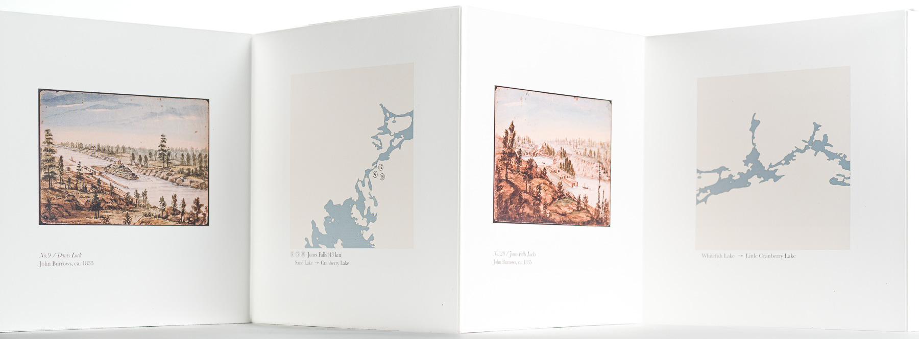
Verso sequence combining GIS cartography and John Burrows watercolours, ca. 1835
The verso side of The Straight Way Lost pairs custom open-source GIS-generated maps of the Rideau Canal with historical watercolours by John Burrows dating from approximately 1835. Each panel is captioned with corresponding image references, locations, distance from Kingston, and current direction.
The maps trace the geographic progression of the photographic journey while the archival watercolours situate the contemporary work within the canal’s historical and colonial landscape. Together, these elements position the project between psychogeography, archival record, and material history.
 Scott Murphy ⊙ Photographer