GART-1025: Photographic Narratives
My photographic practice explores how spaces and places shape human experience, with particular attention to solitude, sustained observation, and the emotional charge of public and transitional spaces.
The following selection highlights three recent projects particularly relevant to Photographic Narratives, including work with original photography, inherited archives, appropriated imagery, image sequencing, and book form.
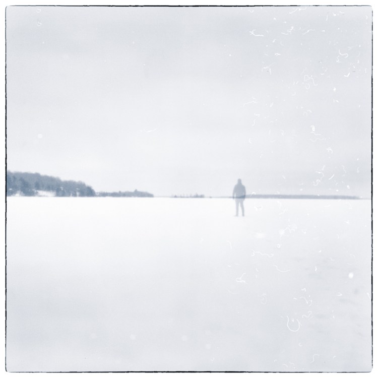


The Straight Way Lost
The Straight Way Lost developed through repeated photographic walks along the Rideau Canal and explores how place, movement, and sustained observation can be translated into photographic narrative. Rather than treating photographs as isolated images, the project developed through editing, pairing, and resequencing, with relationships between images becoming central to the work.


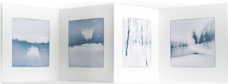
The Baffin Years
The Baffin Years revisits an inherited archive of photographs made by my father while living and working as a wildlife officer in the Canadian Arctic in the early 1970s. I am digitizing and restoring the original transparencies and bringing them into dialogue with the field reports he produced at the time, obtained through an Access to Information request.
The project considers how an existing photographic archive can acquire new meaning through research, selection, and sequencing, while raising questions about authorship, collaboration, historical context, and what happens when one generation interprets the photographic record of another.


Forever Neighbours / Never Neighbors
Forever Neighbours / Never Neighbors examines the Canada-United States border as both a geographic boundary and a cultural construction. Using imagery sourced from Google Earth and Street View, the project follows the border through landscapes where the political division is variously visible, implied, or absent.
The title uses Canadian and American spelling to point to the tension between proximity and difference. By extracting, reframing, and sequencing imagery from digital mapping platforms, the project considers how apparently neutral technologies represent territory, and how an abstract line becomes visible through interventions in the landscape.
The sequence moves between paired aerial views, on which I have overlaid the international boundary in yellow, and ground-level Street View imagery. From above, the border appears as an imposed line crossing rivers, forests, fields, and roads; at ground level, that abstraction becomes a lived space of movement, infrastructure, and human activity. Moving between these scales allows the work to test the distance between the mapped boundary and the landscape through which it passes.


